
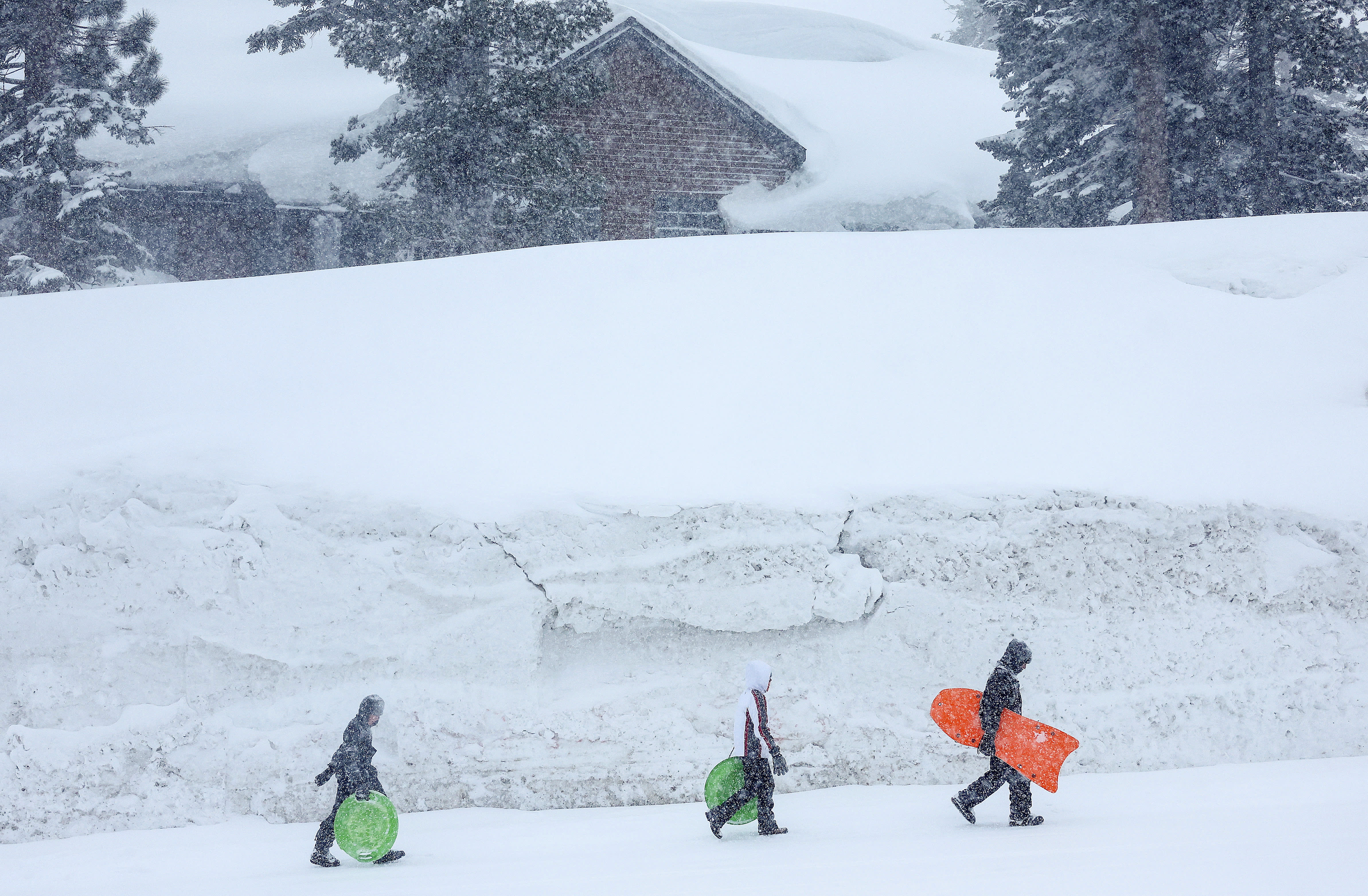
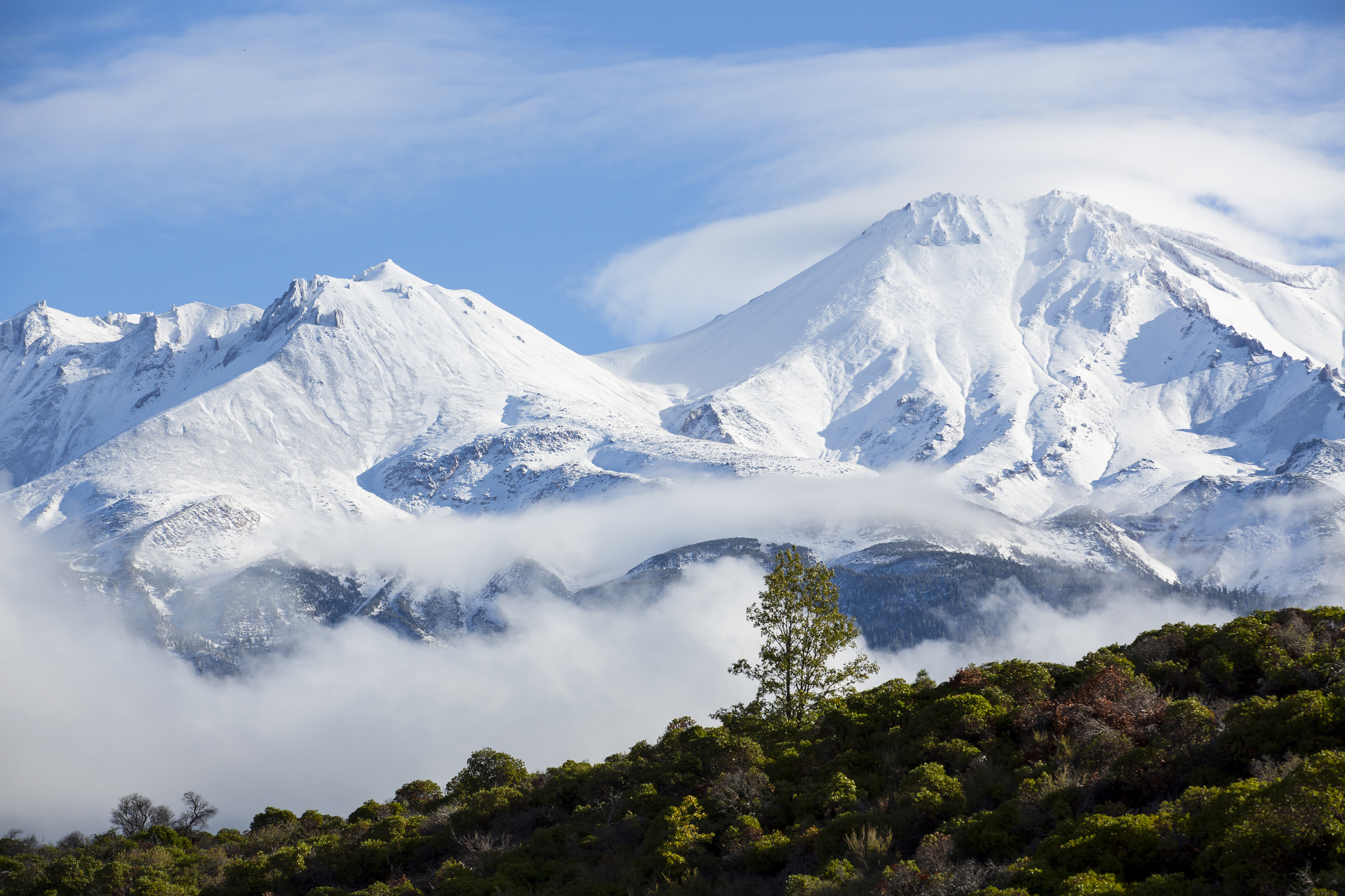
This winter's massive Sierra Nevada snowpack could lead to devastating floods, particularly in the San Joaquin Valley and Tulare Lake Basin, as spring and summer snowmelt volumes pick up speed with the arrival of warm weather and sunshine, according to state water prognosticators.
In its April to July snowmelt forecast, the California Department of Water Resources is predicting river systems up and down the state will receive volumes of water well above average, sometimes dramatically so.
The large amount of water isn't unexpected given the incredibly wet winter conditions and dam operators, water system managers, flood control districts and emergency response officials are working to coordinate how much water to move through the state's storage and delivery systems at specific times to capture as much as possible for urban, agricultural and environmental uses while also trying to reduce flood risks.
"The main thing we want you to know is yes, there's a lot of snow out there, but there is a coordinated, very active group working and looking at the situation and exercising as many options as possible to maximize the benefit and mitigate the hazard," State Climatologist Michael Anderson said in a news conference Tuesday.
Get a weekly recap of the latest San Francisco Bay Area housing news. Sign up for NBC Bay Area’s Housing Deconstructed newsletter.
The statewide snowpack level is 233 percent of average, with the Northern Sierra at 209 percent, the Central Sierra at 243 percent and the Southern Sierra at 320 percent -- a record-breaking level for the southern region.
Using those numbers, along with other hydrologic variables, DWR developed a forecast that shows "unimpeded flow" volumes from melting snow generally peaking in April and May for northern rivers like the Sacramento and the Feather and for the inflows into Lake Shasta.
For southern rivers, like the San Joaquin and Kings, peak snowmelt volumes are expected in May and June.
During those months, many rivers are likely to see volumes of snowmelt that could seriously complicate decisions about how much and when to release water from dams.
For example, the San Joaquin River could get as much as 3.2 million acre-feet between now and July above Millerton Lake, which would be 260 percent of average, and the Kings River below the Pine Flat Reservoir could get a similar volume, which would be almost 270 percent of average, according to DWR data.
The hope is, however, that a cool spring and early summer in the Sierra Nevada will keep the snow from melting too quickly so that the runoff will flow into reservoirs at more reasonable volumes.
Additionally, the "unimpeded flow" forecast doesn't take into account things like evaporation and upstream water diversions.
"If we show a forecast that says 3 million acre-feet in the Kings River, that doesn't necessarily mean that 3 million acre-feet of water is going to make it all the way to the bottom of the reservoir and out the other end," said David Rizzardo, manager of DWR's Hydrology Branch. "It's just how much water is being yielded from the watershed in its totality."
State water managers also said some of the high runoff volumes could be sent to groundwater recharge projects, particularly in the severely over-pumped and depleted Central Valley aquifers.
Still, flooding concerns are atop everyone's mind, given the recent devastating experiences in communities like Pajaro in Monterey County and Corcoran in Kings County.
"We do expect, as you've heard, this year's large snowpack will continue to cause high river levels in several regions, particularly the San Joaquin Valley as well as the Tulare Basin, and we'll remain ready to respond here at the Flood Operation Center during the spring and early summer as this unfolds," said Jeremy Arrich, manager of DWR's Division of Flood Management.
