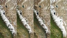
Satellite images of the Sierra Nevada show a striking difference between the 2022 and 2023 spring snowpacks.
The images, courtesy of the NASA Earth Observatory, show the state of the mountain range's snowpack on April 1, 2022 compared to April 6, 2023 –a time of year when the snowpack is typically at its peak.
Additional images show the springtime snowpack dating back to 2020.
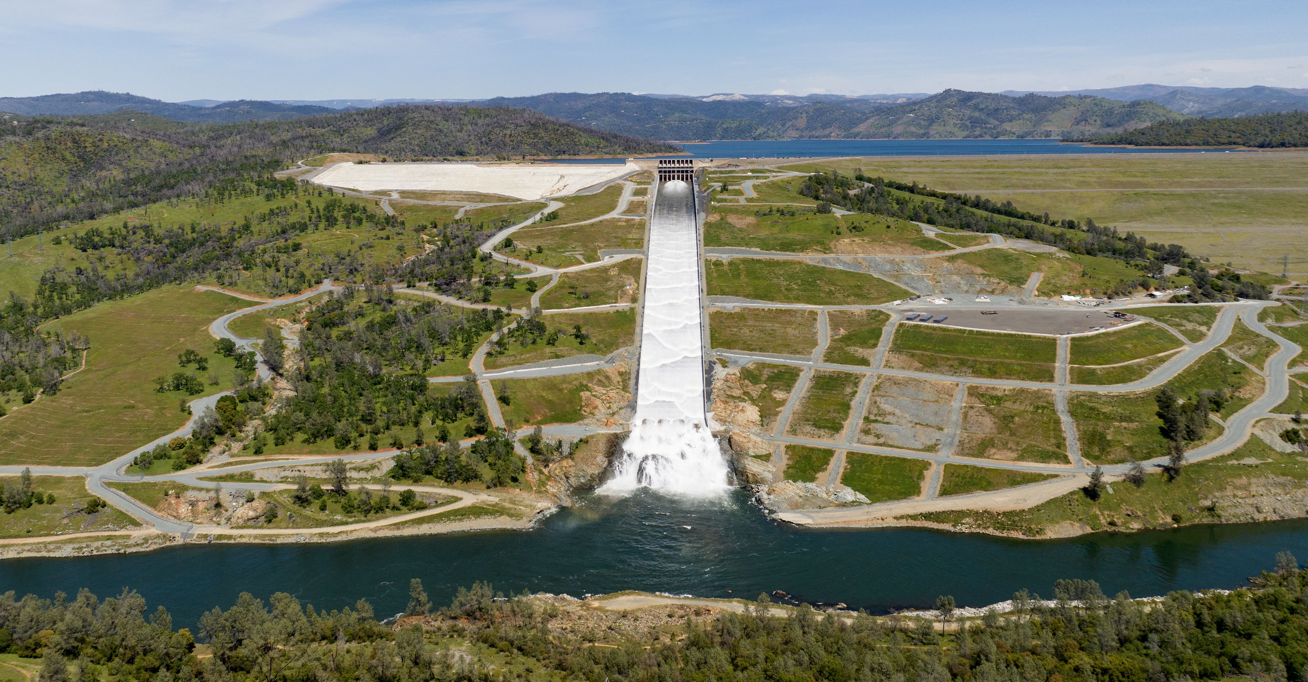
As of Monday, the statewide average snowpack level was 256% of normal for the date, according to the California Department of Water Resources.
"Not only was this year wet, it was also unusually cold," Noah Molotch, a mountain hydrologist at the Institute of Arctic and Alpine Research and NASA's Jet Propulsion Laboratory, said in a statement. "This has contributed to an anomalously high snowpack in both the southern Sierra Nevada Mountains and at lower elevations along the range.”
Late last year, nearly all of California was in drought, including at extreme and exceptional levels. Wells ran dry, farmers fallowed fields, and cities restricted watering grass.
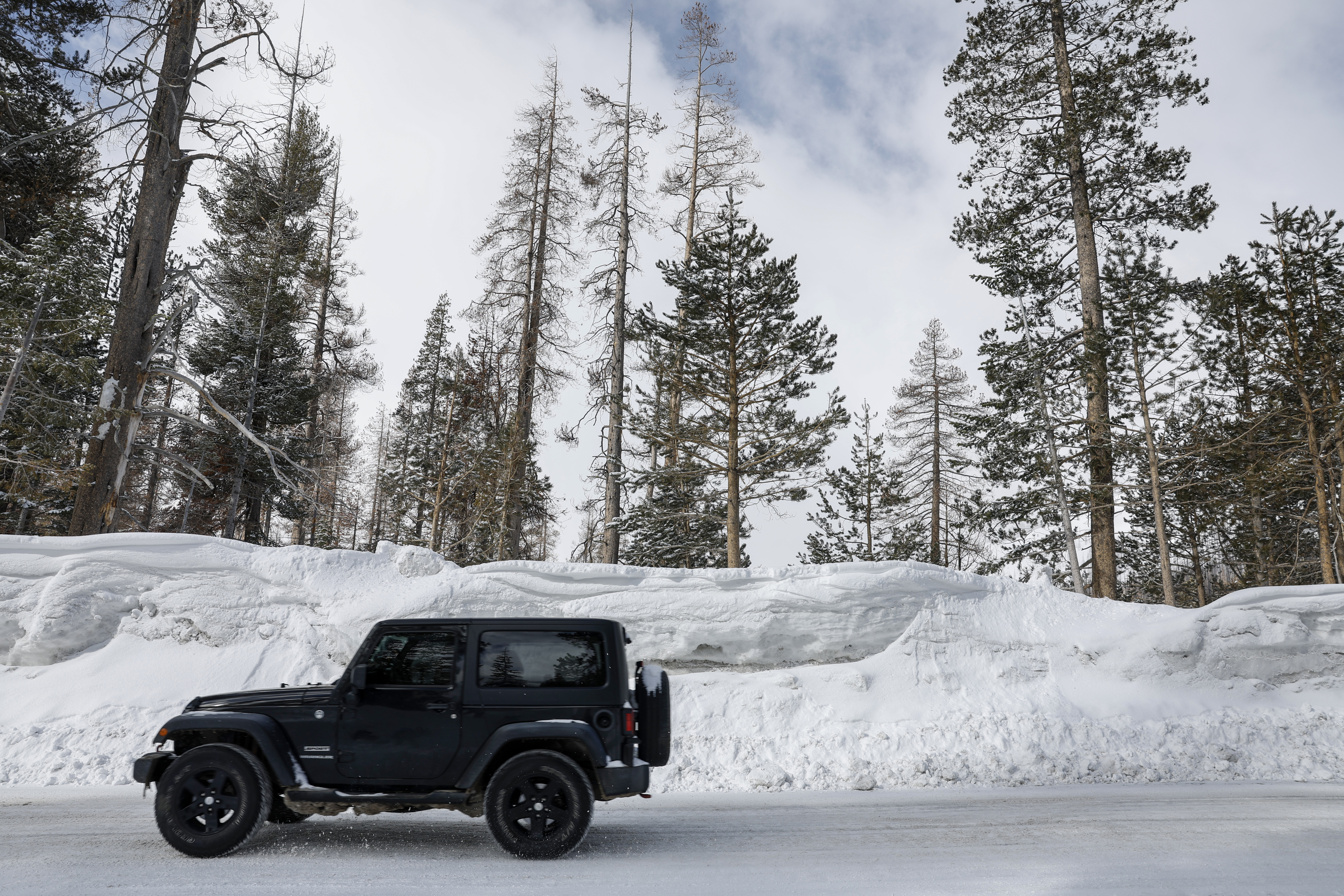
The water picture changed dramatically starting in December, when the first of a dozen “atmospheric rivers” hit, causing widespread flooding and damaging homes and infrastructure, and dumping as many as 700 inches of snow in the Sierra Nevada mountains.
As of last week's U.S. Drought Monitor report, just over 65% of California was free of drought. Roughly 34% of the state was considered abnormally dry and just under 9% was dealing with moderate drought.