


Are you prepared for the next big one?
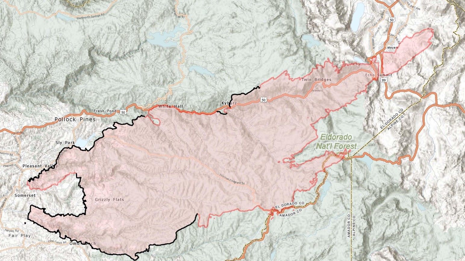
The Caldor Fire burning in Northern California has triggered evacuation orders and warnings across a large section of the Sierra Nevada, including South Lake Tahoe.
Residents in the region can check their evacuation status by using the interactive map below provided by the El Dorado County Sheriff's Office.


Get a weekly recap of the latest San Francisco Bay Area housing news. Sign up for NBC Bay Area’s Housing Deconstructed newsletter.

