


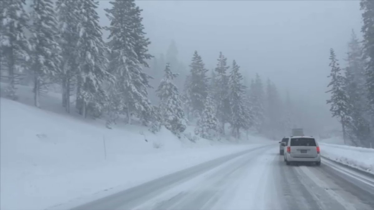
During Earth Week, as we look at the implications of our changing climate, one of the more significant transformations is a declining Sierra Nevada snowpack.
Researchers have been warning that if we don’t make major changes to reduce our emissions immediately, we will see more frequent extreme weather in the future. And for the Sierra, it could mean much less snow, which means less of a water supply for Californians.
In the past, we’ve seen colder winter storms with higher snowfall totals during the months of December through February. But as temperatures rise, the snowpack is expected to decline, with only February as a big snow producing month.
Get a weekly recap of the latest San Francisco Bay Area housing news. Sign up for NBC Bay Area’s Housing Deconstructed newsletter.
Recently we’ve had two years of heavy snow, but the elevation where we’ve seen that snow is getting higher and higher. By 2054, much of the snow in the Sierra Nevada may be at 7,000 feet and higher, and below that mark, heavy rain could result in more frequent events of flash flooding in the region.
Andrew Schwartz, with the UC Berkeley Central Sierra Snow Lab, says we should prepare for a warmer future.

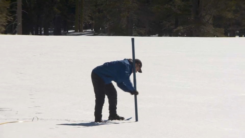

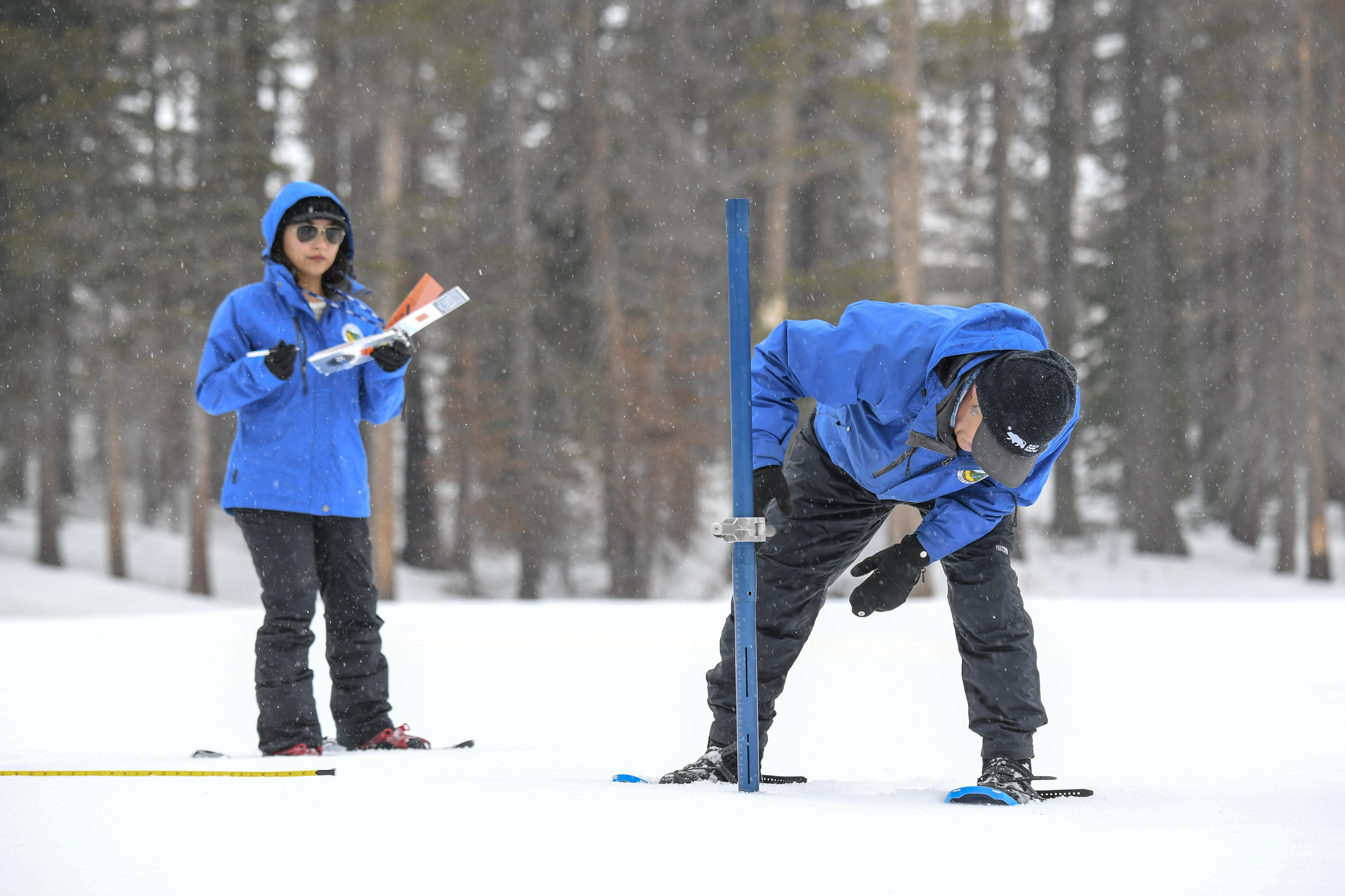
"If you look at the trends every month during our winter snow season, October through May, back to the 1970s, we can see that each of these months are warming, which means that we are transitioning away from snowfall as the dominant precipitation type to rain," Schwartz says. "The one month where that isn’t happening is in February, and we see cases of that, we saw it last year. We’re seeing it this year of December bringing in these big rain storms, these atmospheric rivers that come in typically around the end of the year, and that brings us a lot of rain. And we’ve seen that this year in January, as well, of course.
"In February, we started to bulk up our snowpack even further and get a little bit of drier and colder storms," Schwartz continued. "That storm at the end of the month that gave us that six and half feet that went into early March, that was a colder storm. So we are seeing that trend prove itself to be true time and time again with these wetter, denser rainy storms in January and December then these colder snowy storms in February."

