


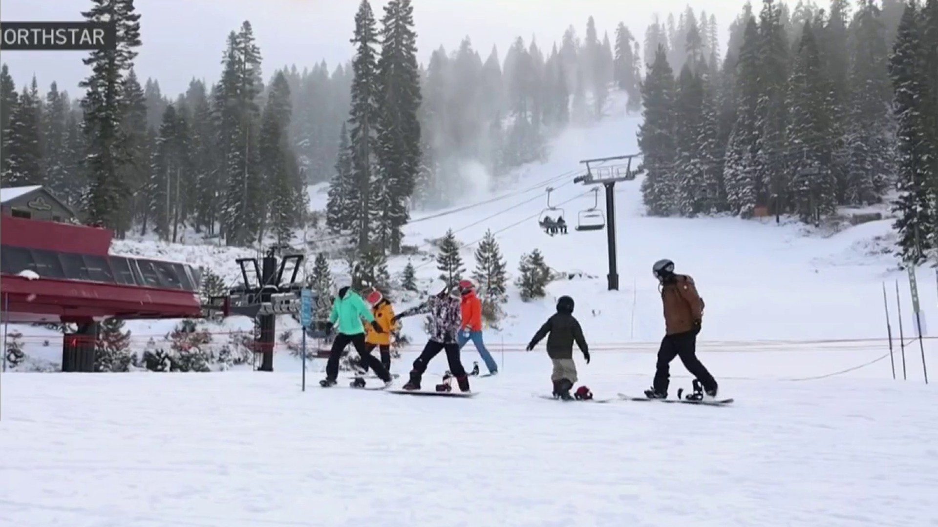
An atmospheric river soaking the Bay Area also brought along a host of problems for local residents. Full team coverage takes you through how the storm is impacting the region.
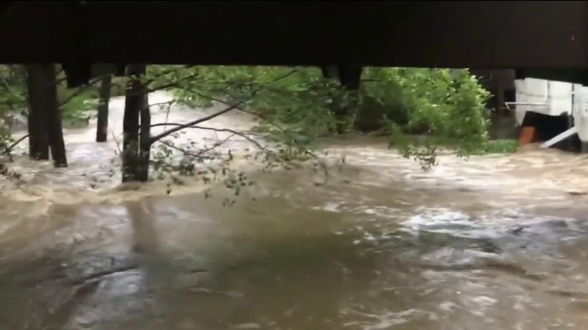
An atmospheric river began soaking the Bay Area Sunday night, continuing into Monday, bringing flooding and intense rain to parts of the region.
Video shows neighborhoods and roadways flooded earlier in the week as the storm pummeled the drought-stricken Bay Area.
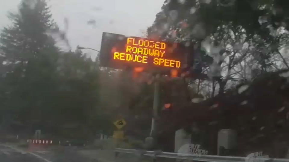
The Bay Area saw more rain Wednesday night, continuing Thursday morning with lingering showers for the morning commute.
Get a weekly recap of the latest San Francisco Bay Area housing news. Sign up for NBC Bay Area’s Housing Deconstructed newsletter.
How Much Rain Have We Gotten So Far?
In the last 24 hours Bay Area cities have seen several inches of rain according to the National Weather Service.
Here are rainfall totals as of 10 a.m. Thursday.
North Bay
Marin – 1.58 inches
Kentfield – 2.53 inches
Point Reyes Station – 1.34 inches
Napa Airport – 0.91 inches
Novato – 0.66 inches
Mill Valley 0.98 inches
Santa Rosa – 1.06 inches
San Francisco
San Francisco – 0.72 inches
SFO – 0.64 inches


East Bay
Richmond – 1.28 inches
Orinda – 1.33 inches
Mount Diablo – 1.58 inches
Concord – 0.68 inches
Hayward 0.68 inches
Oakland Airport — 0.75 inches
Peninsula
Half Moon Bay – 0.84 inches
South Bay
San Jose – 0.15 inches
Milpitas – 0.47 inches
Redwood City – 0.70 inches
How Much More Rain Will We Get?
The Bay Area saw rain and gusty winds overnight Wednesday, but skies are expected to clear by Thursday afternoon.
Rain is expected to return by Sunday, starting in the North Bay and becoming more widespread by early next week.
The wet weather is likely to continue through next Wednesday with dry conditions returning just in time for Christmas.
Take a look at the radar below for live weather conditions.

