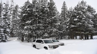
The first manual snowpack survey since a series of winter storms heaped much-needed snow on California’s mountains provided signs of improvement for the state's water supply after an early season dry spell.
The fresh coat of snow at the Phillips Ranch Station in the Sierra Nevada Mountains was a welcomed sight, but California's snowpack is still well below average due to a fall-winter dry spell.
“These storms are not nearly enough to make up the deficit we accumulated over the late three months,” said Sean De Guzman, DWR chief of snow surveys. “To make up for those early dry months, we’ll need multiple days of above average precipitation.”
The snowpack survey at the Phillips Ranch Station measures snow-water equivalent, which is the depth of water that theoretically would result if the entire snowpack melted instantaneously.
Wednesday's results showed a snow depth of 63 inches and a snow-water content of 17 inches. That’s 93 percent of the average snow-water equivalent for Feb. 1 and 68 percent of the April 1 average at the Philips Ranch site.
The April 1 date is important because that typically is when California’s snowpack reaches its peak water content.
The first measurement of the season at Philips Ranch, conducted Dec. 31, showed a snow depth of 30.5 inches and a snow-water content of 10.5 inches.
The snowpack is a vital source of water for people throughout California. The snow melts in spring and flows into the state's water system and reservoirs, supplying about 30 percent of California's water needs.
DWR today conducted the second Phillips Station snow survey of the season and the recent #CAstorms helped but more water is needed. The manual survey recorded 63 inches of snow depth & a snow water equivalent of 17 inches, which is 93 % of the Feb. 1 average at the location. pic.twitter.com/cMIglGwIeH
It's still be too early to tell how the water supply will fare this year, but the clock is ticking. The state historically receives about 75 percent of its annual precipitation during December, January and February.
The manual surveys are conducted monthly through April and, if necessary, May. The department also uses electronic monitors to gauge California's water needs.
Statewide, the snowpack is at 70 percent of average, according to the monitoring system's data. Last year at the end of January, California was at 73 percent of average.
The year before, California recorded its fifth-deepest snowpack.
The snow survey results can vary wildly. At the height of California’s most recent years-long dry spell in 2015, then-Gov. Jerry Brown found himself standing in a field of brown grass with no signs of snow.
California Department of Water Resources
The results of California's annual snowpack surveys in the Sierra Nevada Mountains have been mixed over the decades.
NBC10 Boston
The California Department of Water Resources conducts a snow survey to measure the snowpack in the Sierras in El Dorado County in Northern California. Photo taken sometime during 1958.
California Department of Water Resources
California Department of Water Resources snow survey team right, Ray Barsch and Christopher Carr cross country ski to the Alpha test site, 7600 feet elevation in the Sierra Nevada mountain range near Forni Ridge and Lyons Creek in El Dorado County north of U.S. Highway 50. The water runoff from this area is part of the American River Watershed in Northern California. Photo taken April 11, 1967. Paul Weber / California Department of Water Resources, FOR EDITORIAL USE ONLY
California Department of Water Resources
Center, Frank Gehrke, chief of the California Cooperative Snow Surveys Program for the Department of Water Resources prepares for the monthly snow survey at Phillips Station in El Dorado County in the Sierra Nevada mountains. Photo taken March 2, 2009.
Telemundo
Right, Frank Gehrke, chief of the California Cooperative Snow Surveys Program for the Department of Water Resources leads the way to conducts the monthly snow survey during a snow storm at Phillips Station in El Dorado County in the Sierra Nevada mountains. Photo taken March 3, 2010.
Kelly Grow / California Department of Water Resources
Frank Gehrke conducts California Department of Water Resources monthly snow survey at Phillips Station near Echo Summit on December 30th, 2014.
California Department of Water Resources
The mountains at Phillips Station near Echo Summit on January 3, 2014.
CADWR
Frank Gehrke (DWR Chief of Snow Surveys) addresses the media during a snow survey at Phillips Station on April 1, 2015. The black tag on the pole is where the snow was in the drought year of 1977, the yellow tag is where the snow was the year before, and the green tag is where the snow is on an average year.
The Department of Water Resources (DWR) conducts a snow survey at Phillips Station on April 1, 2015. Measurements in Phillips began in 1942, and this report marked the first time there was zero snow for an April 1 measurement. Below-normal precipitation, combined with unusually warm weather, produced meager snowfall during the traditional wet season.
California Department of Water Resources
Right, Frank Gehrke, chief of the California Cooperative Snow Surveys Program for the Department of Water Resources, conducts the monthly snow survey at Philips Station.
California Department of Water Resources
Members of the California Council on Science and Technology Science Policy Fellows left to right, Michael Peterson, Julianne McCall and Mikel Shybut assist Frank Gehrke Chief of the California Cooperative Snow Surveys Program with the second snow survey of the 2017 snow season at Phillips Station in the Sierra Nevada Mountains. The survey site is approximately 90 miles east of Sacramento off Highway 50 in El Dorado County. Photo taken February 2, 2017.
Dale Kolke / California Department of Water Resources
The third snow survey of the 2017 snow season at Phillips Station in the Sierra Nevada Mountains. The survey site is approximately 90 miles east of Sacramento off Highway 50 in El Dorado County. Photo taken March 1, 2017.
California Department of Water Resources
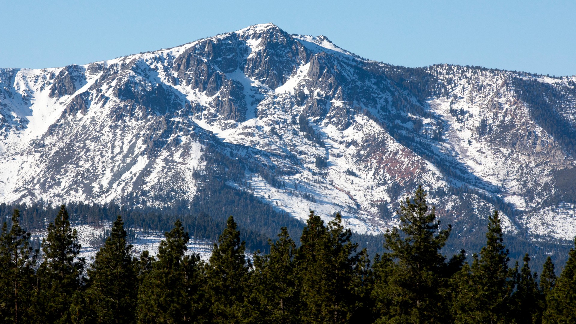
A snow-covered Sierra Nevada mountain peak to the northwest from the Phillips Station meadow where the California Department of Water Resources conducted its third snow survey of the winter 2017 season. Photo taken March 1, 2017.
California DWR
A view of the Phillips Station site on Jan. 3, 2018 before the first snow survey of the season.
California DWR
A view of Phillips Station in the Sierra Nevada Mountain Feb. 1, 2018 during the second snowpack survey of the year.
CA DWR
A view of Phillips Station in the Sierra Nevada Mountains ahead of the third manual snow survey of 2018. The same meadow had just 7 percent of its usual snowfall a couple of weeks ago. A big winter storm a week earlier brought that up to 39 percent.
California Department of Water Resources
Frank Gehrke, Chief of the California Cooperative Snow Surveys Program leads the way to conduct the fourth snow survey of 2018 at Phillips Station in the Sierra Nevada Mountains. The survey site is approximately 90 miles east of Sacramento off Highway 50 in El Dorado County. Photo taken April 2, 2018.
California Department of Water Resources
John King, Water Resource Engineer, of the California Department of Water Resources, prepares to insert the long aluminum snow depth survey pole into the snow for the third media snow survey of the 2019 season at Phillips Station in the Sierra Nevada Mountains. The manual survey recorded 113 inches of snow depth and a snow water equivalent of 43.5 inches -- more than double the previous month.
California Department of Water Resources
John King, Water Resource Engineer, DWR Snow Survey Section, leads the fourth snow survey of water year, followed by team of members of DWR's excecutive staff. The survey showed snow water equivalent at 200 percent of average for the site.
California DWR
The third snow survey of the season is conducted March 2, 2021.
California DWR
California’s Jan. 3, 2023 snow survey in the Sierra Nevada Mountains.