Fall Fog and Sun
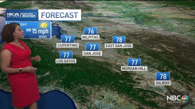
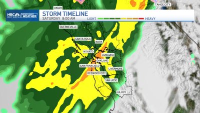
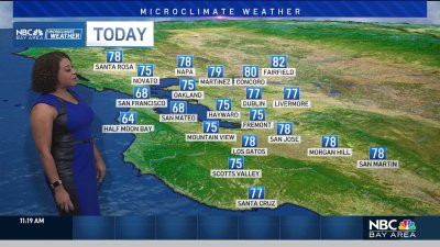
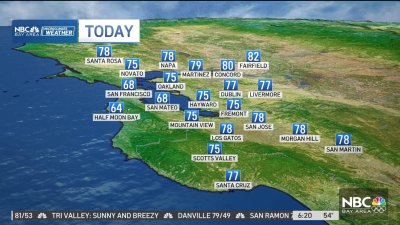
Patchy fog and coastal low clouds are starting the day, but we should see mostly sunny skies and mild temps around the bay and inland later. Highs will be warm again for the valleys with highs in the upper 70s to mid 80s with mainly 60s near the coast to mid 70s closer to Santa Cruz where an increasing sea breeze by mid afternoon will begin cooling temps quickly into the evening.The item to watch weatherwise this week will be an area of low pressure spinning just offshore that should toss some high clouds our way starting late Wednesday and possibly a few showers near the coastline by late Thursday or Friday. For now, the computer models keep the low centered about 200 miles or so too far to the west to bring a real rain threat to the Bay Area. However, these cut-off lows are notoriously tricky to forecast days in advance, so keep an eye on adjustments to the forecast around midweek. For now, well leave a chance for some showers near the coast around Friday but inland locations likely staying dry. Stay tuned!Enjoy your Sunday! Rob Mayeda