Hot Weather Ahead
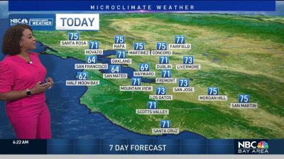
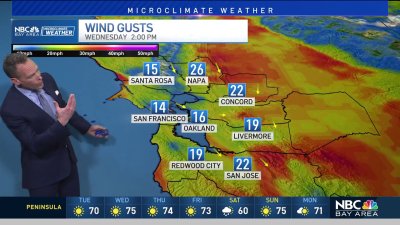
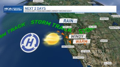
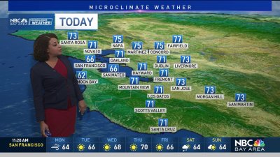
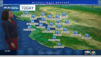
Strong high pressure building in over the West Coast will lead the the hottest stretch of weather we’ve seen in awhile. Low clouds, fog and misty skies will start the day near the coast and inner bay turning to partly cloudy skies for the afternoon. Highs near the beaches and bay will be comfortable with mid 60s to mid 70s. Further inland across the valleys, especially the inland East Bay, Tri-Valley and South Bay set to climb into the 80s and lower 90s todays. Mid to upper 90s could be possible later in the week before increasing clouds and a switch back to stronger onshore winds kick in by Sunday should bring our temperatures down next weekend.