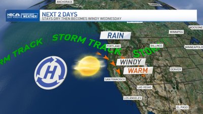
More Clouds & Cooling
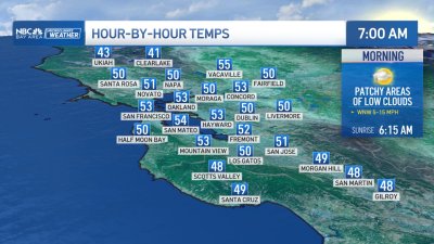
A stronger sea breeze and deepening marine layer will insure temps continue to drop a few more degrees to wrap up the work week. Areas of mist and some drizzle will also be possible late night into the early mornings as well. An area of low pressure tracking south of the Bay Area on Friday will begin tossing some mid-level moisture over the area which will increase some instability especially over some of the coastal hills, possibly enough to warrant a slight chance for some showers or isolated thunder mainly near the Sierra and areas north of Sonoma County. – Rob Mayeda