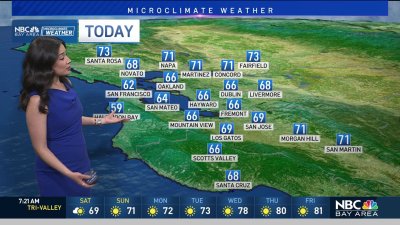
Rob Mayeda's Weekend Forecast
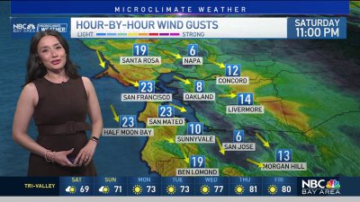
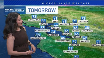
The marine layer will start the weekend close to 3,000 ft, coupled with onshore winds this will insure temps will be staying mostly mild even across our inland valleys. Areas of drizzle or mist are likely at times late night and early mornings as well. Temps should climb slightly early next week as the marine layer compresses slightly, but the trend is still looking even cooler than average later next week as a stronger area of low pressure settles in to the West Coast. Some model runs are hinting at showers and much cooler weather ahead for Labor Day Weekend. Indeed, the upper air temps associated with this system would be chilly enough to support snow across the highest peaks of the Sierra. Odds are more likely we’ll see breezy and cooler conditions continuing out to the next 10 days, we’ll have to wait and see if those shower chances are for real in coming weather model run updates.