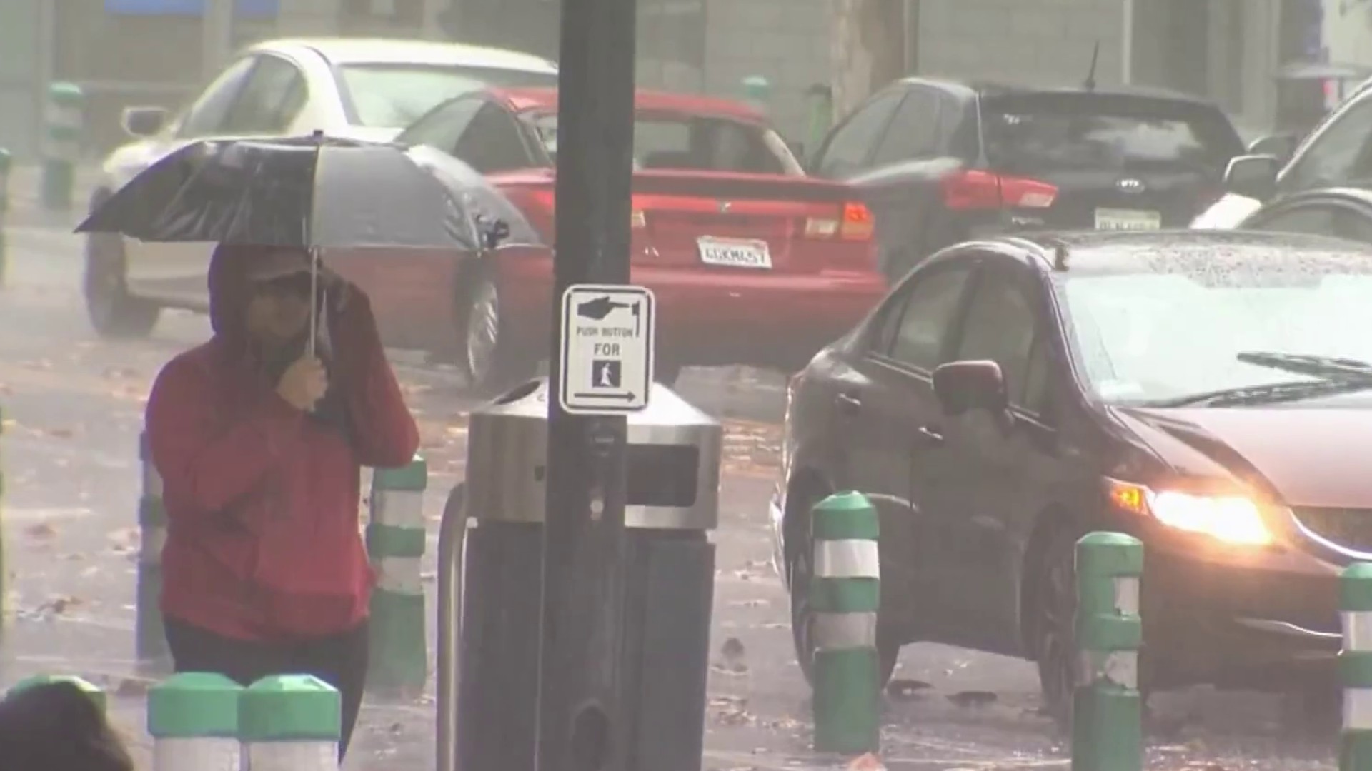
California’s first significant storm of the season brought rain to the southern half of the state on Wednesday but winter-like conditions persisted in the Sierra Nevada after a night of traffic-snarling snowfall.
The National Weather Service said winter storm warnings would remain in effect through the day in Northern California mountains, where highway conditions led to spinouts and crashes after the potent cold front moved in on Tuesday.
People with plans to travel through the mountains should expect to face chain controls, major delays and slick conditions, officials said.
Get a weekly recap of the latest San Francisco Bay Area housing news. Sign up for NBC Bay Area’s Housing Deconstructed newsletter.
Motorists are advised to check the Caltrans QuickMap or the Caltrans District 3 Twitter page for updates on road conditions.
A foot of snow fell at UC Berkeley’s Central Sierra Snow Lab by late morning, and another few inches were expected through the day. The Reno, Nevada, weather office reported up to 8 inches on Lake Tahoe’s west shore.
Check out some more preliminary snowfall total reports below.
Rainfall across Southern California was generally light but winter weather advisories were issued for the region’s mountains into Thursday morning. Forecasters said snow levels could plunge to elevations as low as 2,500 feet as cold air from Canada flowed into the region.
Forecasters said the major Interstate 5 corridor over Tejon Pass north of Los Angeles could be impacted by snow and gusty winds on Thursday.
Another chance of rain and snow was possible early next week.