
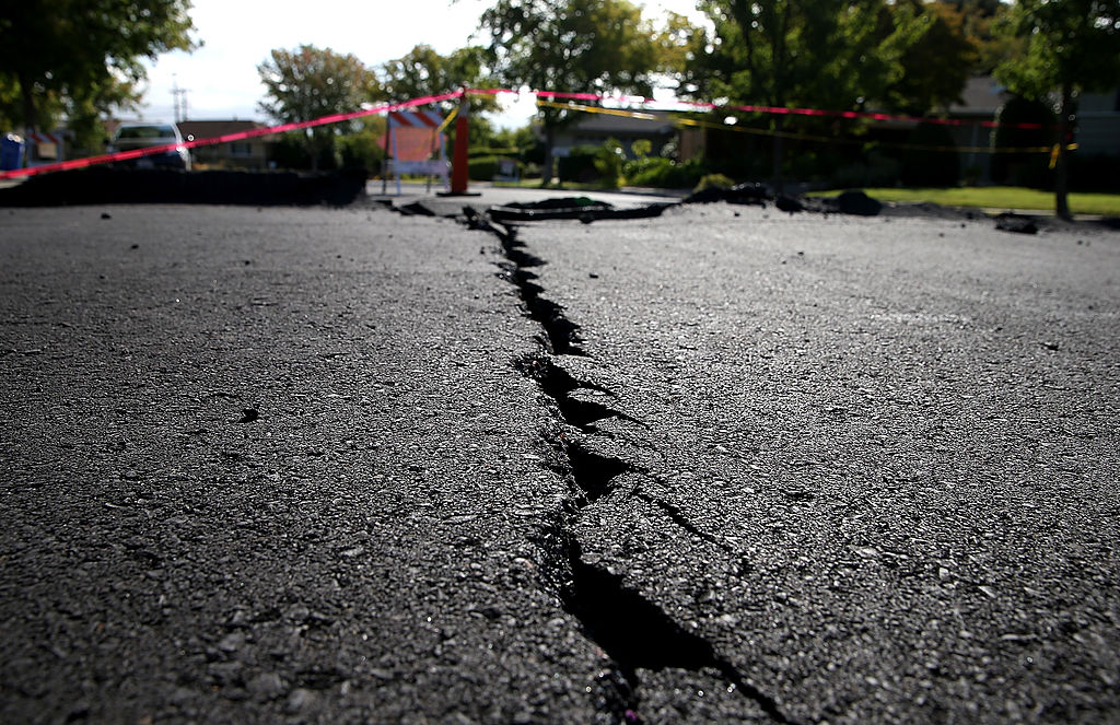
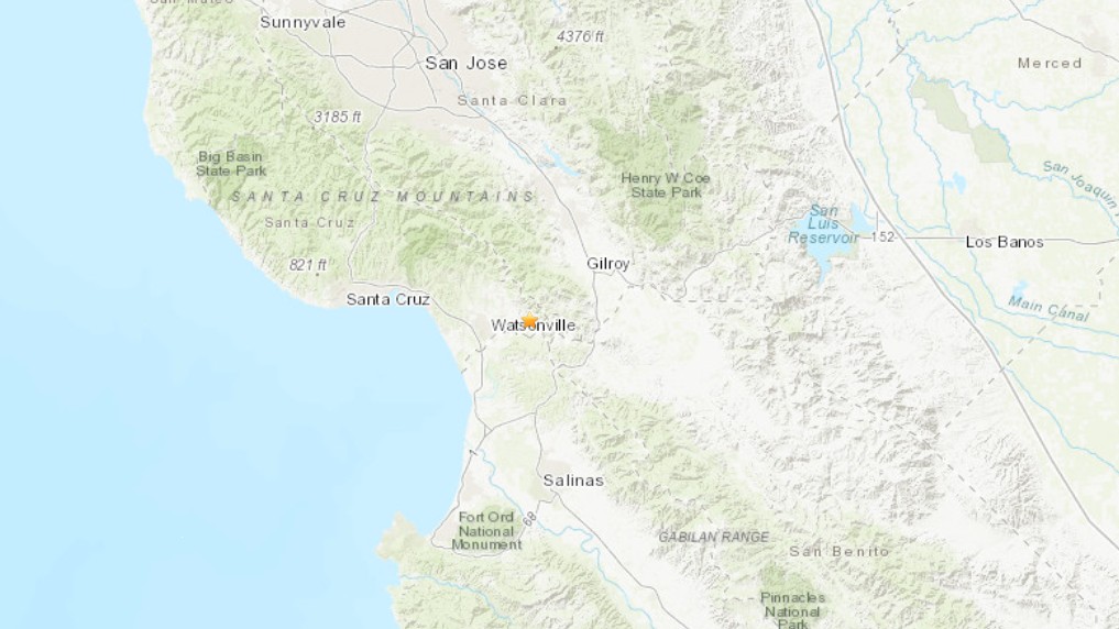
Nearly all of California has a more than 95% chance of a damaging earthquake in the next century, according to a new United States Geological Survey map.
The new USGS National Seismic Hazard Model released Tuesday shows where damaging earthquakes are most likely to occur in the United States and updates a previous version released in 2018.
"This was a massive, multi-year collaborative effort between federal, state and local governments and the private sector,” said Mark Petersen, USGS geophysicist and lead author of the study. "The new seismic hazard model represents a touchstone achievement for enhancing public safety."

Get a weekly recap of the latest San Francisco Bay Area housing news. Sign up for NBC Bay Area’s Housing Deconstructed newsletter.
Here are some of the key takeaways from the map, according to the USGS:
- Risk to people: Nearly 75% of the U.S. could experience potentially damaging earthquakes and intense ground shaking, putting hundreds of millions of people at risk.
- Widespread hazard: 37 U.S. states have experienced earthquakes exceeding magnitude 5 during the last 200 years, highlighting a long history of seismic activity across this country.
- Structural implications: The updated model will inform the future of building and structural design, offering critical insights for architects, engineers, and policymakers on how structures are planned and constructed across the U.S.
- Unified approach: This marks the first National Seismic Hazard Model to encompass all 50 states simultaneously, reflecting a massive collaborative effort with federal, state, and local partners.
- Not a prediction: No one can predict earthquakes. However, by investigating faults and past quakes, scientists can better assess the likelihood of future earthquakes and how intense their shaking might be.
Are you prepared for the next big one?
