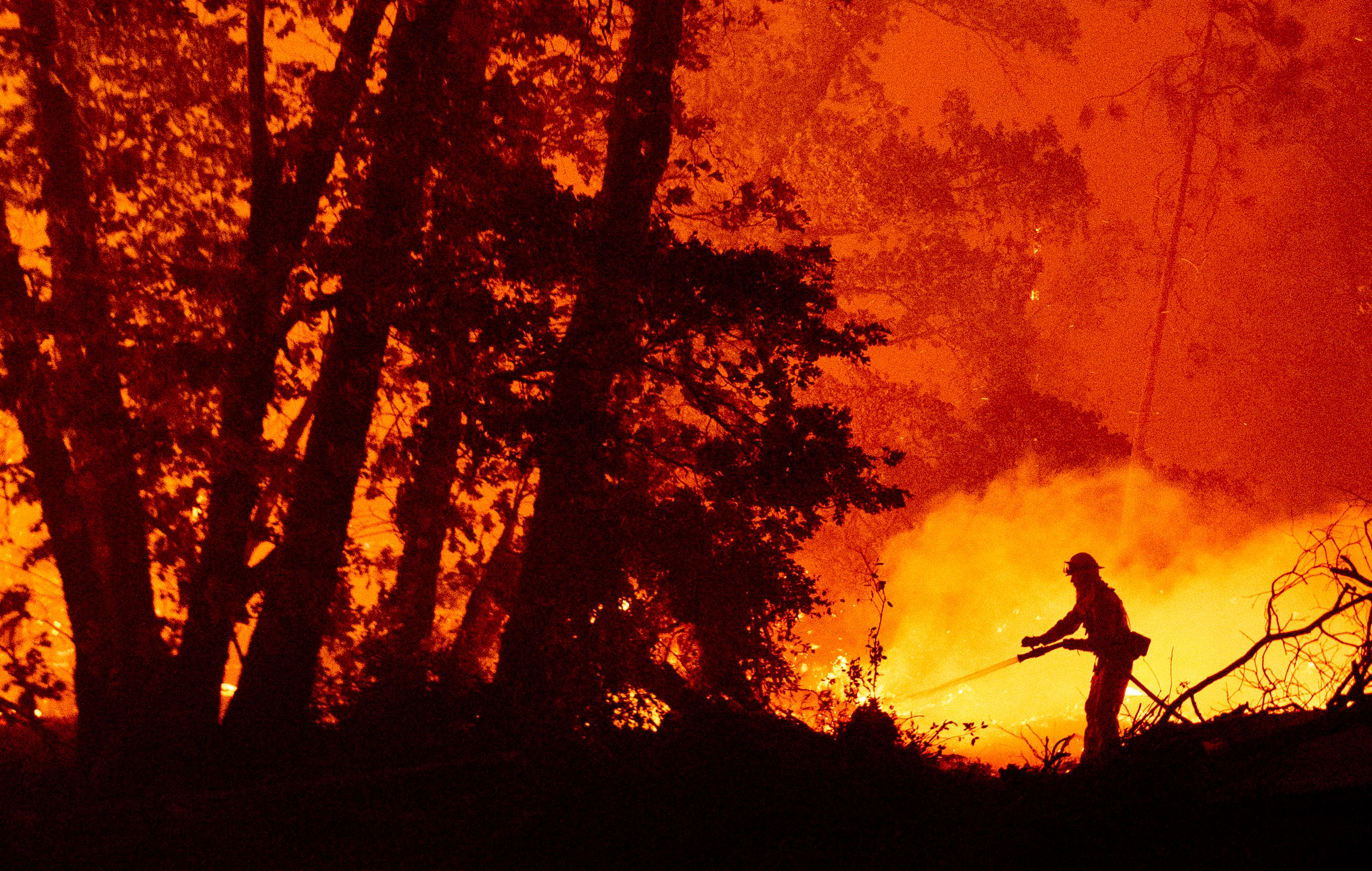
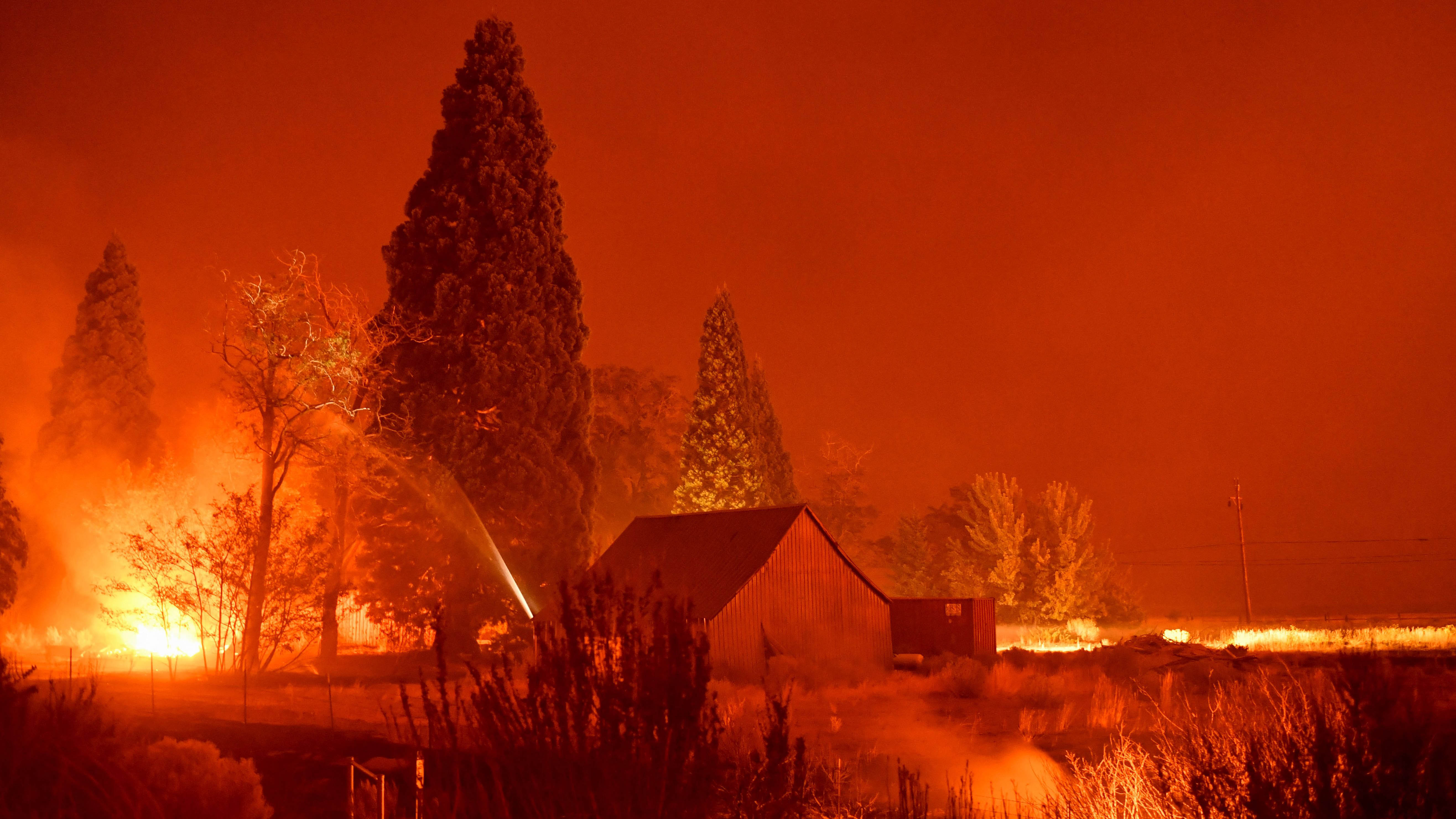
As the state's second largest fire season on record continues, extreme drought conditions have helped to extend it.
Higher elevation inland locations in the Santa Cruz Mountains have been near or at record dry levels for wildfire fuel moistures since April. This has had the effect of lengthening this year’s fire season with a much earlier start for active and intense wildfires.
Conditions now are near their seasonally low moisture values common for late September. With diablo wind frequency highest in October, SJSU’s Craig Clements says the convergence of gusty dry wind and annually low fuel moistures are why early fall signals the peak of fire season danger.
So, how can we improve current conditions and when can we see reduced fire risk? The key remains the weather.
Get a weekly recap of the latest San Francisco Bay Area housing news. Sign up for NBC Bay Area’s Housing Deconstructed newsletter.
As we saw recently with heavier rain in northwest California, wildfire activity there decreased considerably.
Cooler temperatures and a few storms bringing more than an inch of rain can go a long way to giving wildfire fuel moistures a boost and reducing fire danger in the region that's critically high since spring.