Every MLB Team's Retired Numbers
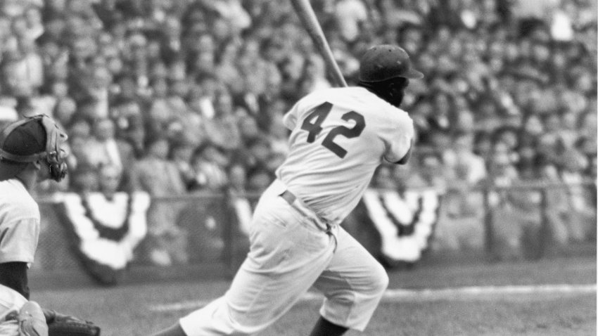
Jackie Robinson Day is celebrated on April 15, the day MLB’s first Black player made his debut. Take a look at each team’s retired numbers.
Jackie Robinson Day is celebrated on April 15, the day MLB’s first Black player made his debut. Take a look at each team’s retired numbers.