
People across the Bay Area will have a cold start on Monday with the National Weather Service issuing frost advisories and freeze warnings for inland areas, the Central Coast, and the Santa Cruz Mountains.
A frost advisory means the NWS expected minimum temperatures of 32 to 35 degrees, while a freeze warning means minimum temperatures below 32 degrees are expected.
It added that both conditions are considered dangerous for people without shelter, and advised on social media, “Protect people, pets, plants and pipes from the cold!”
Get a weekly recap of the latest San Francisco Bay Area housing news. Sign up for NBC Bay Area’s Housing Deconstructed newsletter.
Those alerts will be in effect from midnight to 10 a.m. Monday.
Temperatures will be in the low to mid 30s with a noticeable wind chill in some places in the morning hours, while later in the day, it will be mostly sunny around the region. High temperatures are expected to reach the low to mid 50s and there will be winds of up to 20 mph along the coast.
On Sunday night and early Monday, the skies will remain clear and temperatures are expected to be in the mid 30s but not quite as cold as the previous overnight hours and with light winds.
Highs later Monday are expected to be in the low to mid 50s like Sunday and it is expected to be mostly sunny with light winds of up to 10 mph.
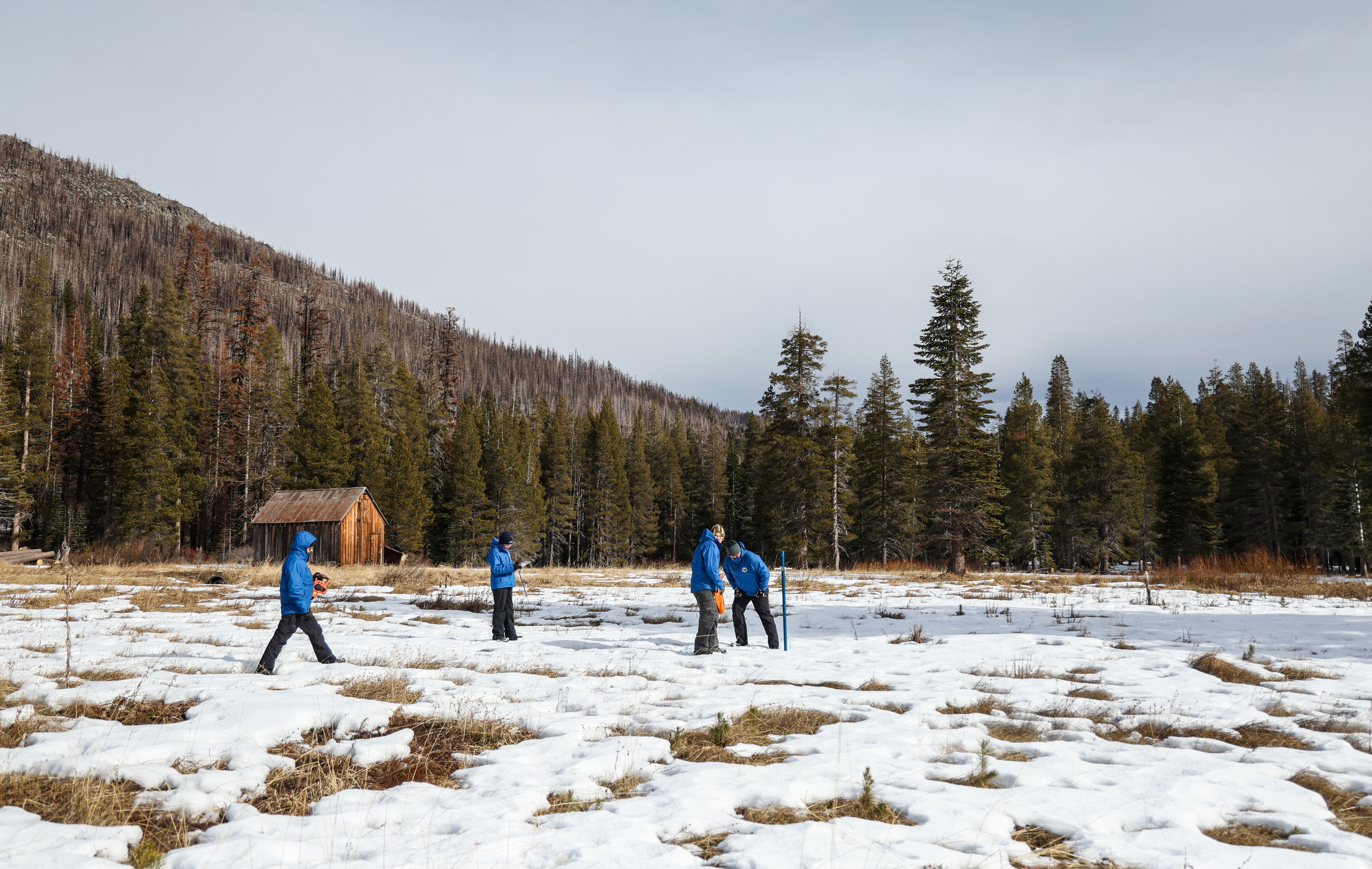
Rain is expected to return on Tuesday and Wednesday as a pair of colder weather systems swing through the Bay Area. The rain totals look fairly low overall, ranging from .10 to .75 of an inch, but the Sierra Nevada should see a boost to its snowpack.
