
You can take steps to plan and prepare for the next big one. Access our Bay Area Quake Tracker, the latest earthquake stories, extensive quake prep checklists, videos and many other disaster preparedness resources right here.
Track the latest quakes
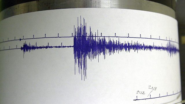
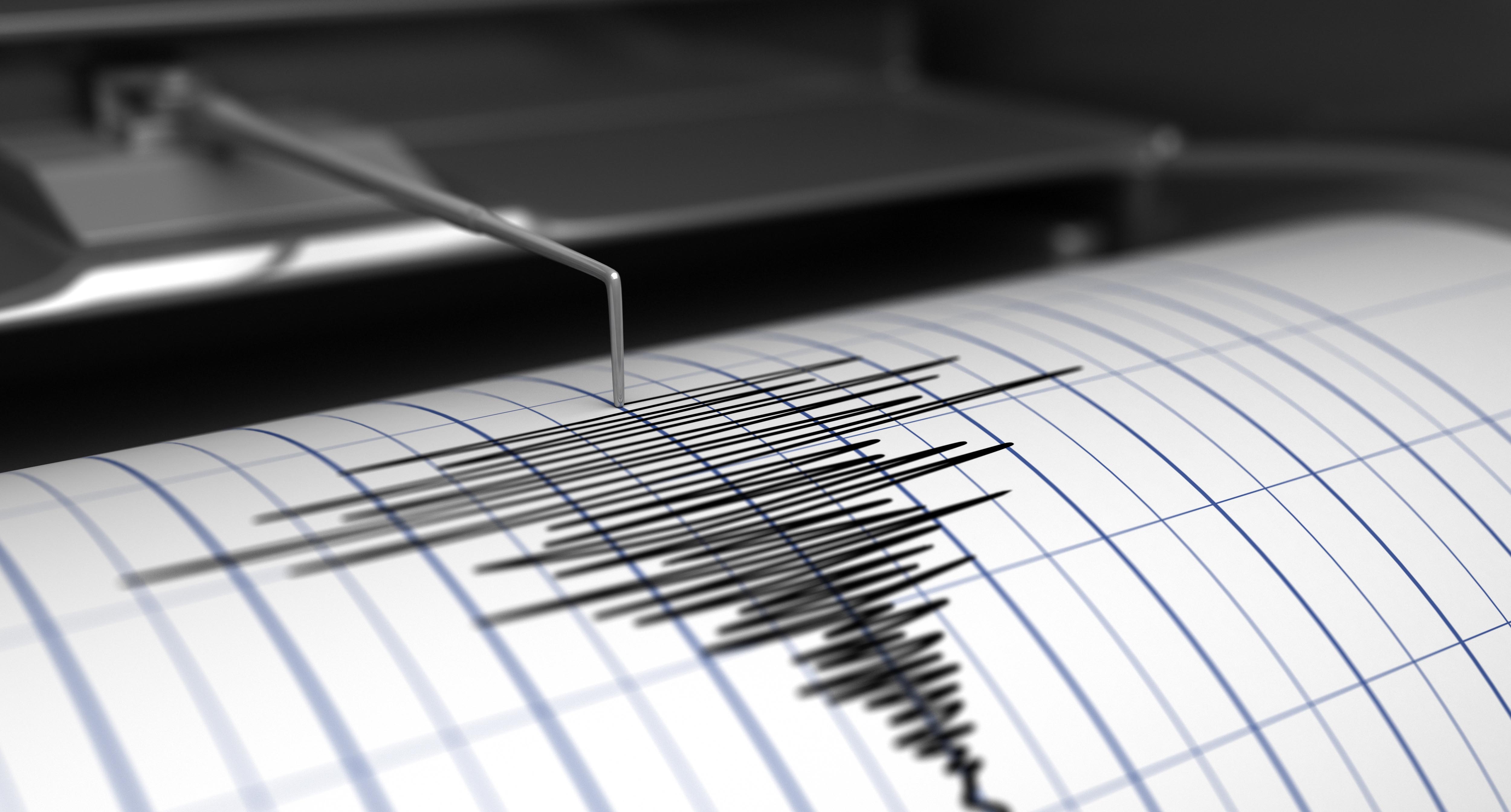
![]() Bay Area Quake Tracker
Bay Area Quake Tracker
Was there an earthquake just now? This real-time chart tracks quakes in the last 24 hours in the San Francisco Bay Area and surrounding cities. You can see all earthquake activity near the Bay Area with a magnitude of at least 1 here: NBCBAYAREA.COM/QUAKETRACKER

-
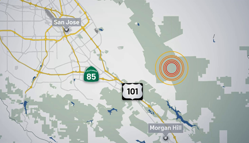
M2.9 earthquake rattles near San Jose, USGS says
 April 24, 2024
A preliminary 2.9 magnitude earthquake struck Wednesday morning near San Jose, according to the United States Geological Survey.
-
M2.5 earthquake shakes North Bay, USGS says
 April 17, 2024
A preliminary 2.5 magnitude earthquake struck Wednesday morning in the North Bay, near Santa Rosa, according to the United States Geological Survey.
-
Preliminary magnitude 2.9 quake shakes Stanislaus County
 April 14, 2024
A preliminary magnitude 2.9 earthquake shook Stanislaus County Saturday afternoon, according to the United States Geological Survey.
-
M3.2 earthquake rumbles east of San Jose, USGS says
 April 10, 2024
A preliminary 3.2 magnitude earthquake struck early Wednesday morning east of San Jose, according to the United States Geological Survey.
-
M3.4 earthquake shakes in North Bay
April 8, 2024A preliminary 3.4 magnitude earthquake struck Monday morning in the North Bay, according to the United States Geological Survey.
Get Bay Area earthquake news
Every high magnitude quake is a reminder to be ready here in the Bay Area. Check all our latest reports and earthquake explainers.
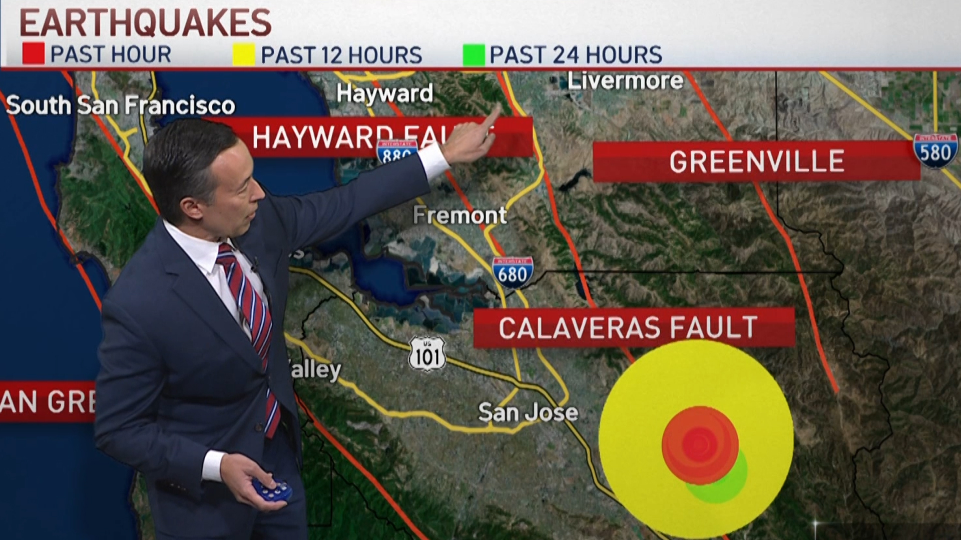 Bay Area Fault Lines Explained
NBC Bay Area meteorologist Rob Mayeda breaks down the fault lines that run through the Bay Area following a pair of temblors in the South Bay.
 Experts Warn Larger, More Extensive Earthquake Could Hit the Bay Area
The U.S. Geological Survey issued a somber reminder that the next quake could be much larger and do serious, extensive and widespread damage -- that’s based on seismometers and historical records of earthquakes, as well as studies of their faults.


Step-by-step instructions for earthquake preparedness
Here are checklists built from the latest earthquake reports and a wealth of agency resources:
 What Do I Put in my Emergency Go Bag?
A "Go Bag" is vital for families who need to make a quick getaway.
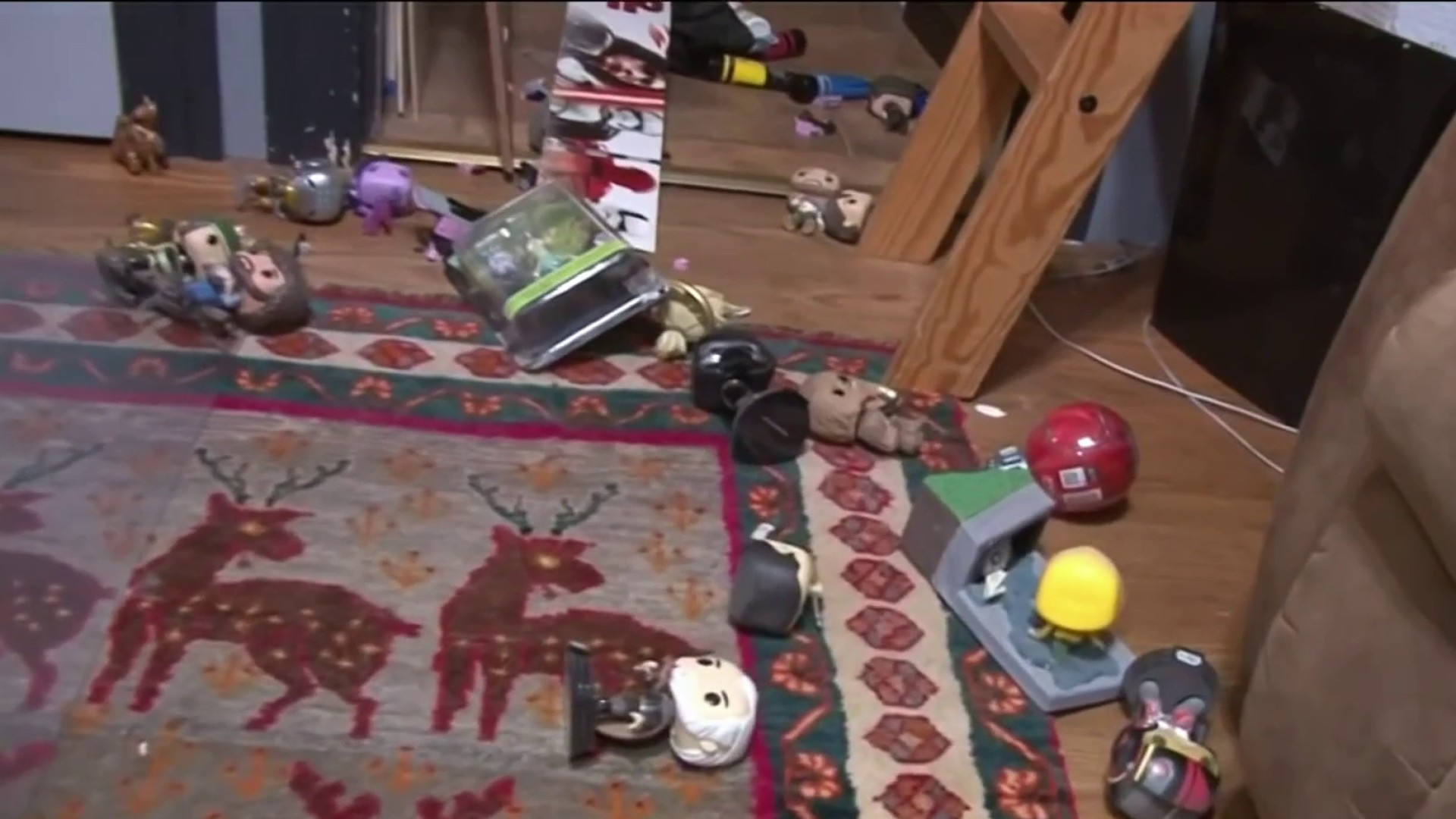
 What Do I Do During a Quake?
Prevent injuries from falling or from objects that might fly towards you.
 What Do I Do After a Quake?
These are steps to help you navigate the moments after the shaking ends.
 How Do I Prepare for No Food and Water?
Major quakes disrupt infrastructure and access to the basics could be limited.
 How Do I Prepare for a Power Outage?
Communications, transportation and many services are impacted when electricity is out.

Watch Bay Area earthquake videos
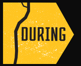
 Documentary: Loma Prieta Earthquake, 30 Years Later
If you were in the Bay Area on that day in 1989, you knew where you were and what you were doing at 5:04 p.m. when the 6.9 quake rocked the region. In this installment of our award-winning documentary series Bay Area Revelations, we take a look at how the earthquake forever changed the Bay Area and what’s being done to prepare for the next big one.
 A Journey to the Epicenter of the 1989 Loma Prieta Earthquake
Located deep in the Santa Cruz Mountains in an area known as The Forest of Nisene Marks is the actual epicenter of the Loma Prieta earthquake of 1989. To get there, you need to bike or hike a combined 1.4 miles. NBC Bay Area Digital Correspondent Abbey Fernández and Photographer Michael Horn journey to the epicenter to see what it all looks like, 30 years later.
 ‘Quake Coach' Helps Bay Area Families Prepare for the Next Major Earthquake
Unlike wildfires or floods, there’s no “earthquake season” scientists can predict. That means California families must be ready at all times for a possible quake. An Oakland small business owner aims to help. Consumer investigator Chris Chmura reports.
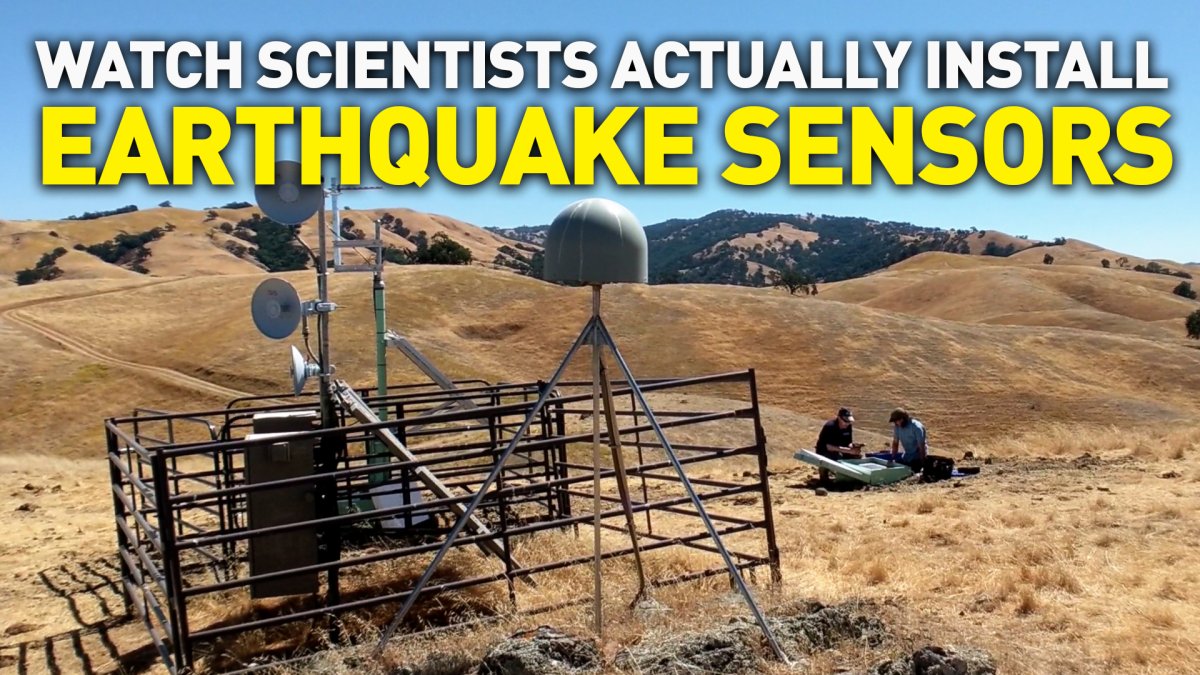 Behind the Scenes: Watch USGS Scientists Install Sensors For Earthquake Warning System
We went along with USGS scientists as they installed sensors for “Shake Alert.” “Shake Alert” doesn’t predict earthquakes, but it can give people “seconds” to prepare before the stronger shaking begins.
 Video Vault: Loma Prieta – The Great Quake of '89
From the NBC Bay Area video vault, KNTV presents a special program on the one-year anniversary of the 1989 Loma Prieta earthquake. It only lasted seconds, but it managed to change lives forever.

Get more earthquake safety tips and tools
State, federal and international agencies -- as well as many businesses -- help residents prepare for the inevitable next quake. For more information on earthquakes and how to prepare for them, you can visit our complete list of official sources and apps.
![]() The United States Geological Survey (USGS) is a Federal agency responsible for recording and reporting earthquake activity nationwide. Their site has information on recent or historic quakes, fault zones of interest, statistics, photo collections, maps and more. One of their maps displays magnitude 2.5+ earthquakes around the world in the past day.
The United States Geological Survey (USGS) is a Federal agency responsible for recording and reporting earthquake activity nationwide. Their site has information on recent or historic quakes, fault zones of interest, statistics, photo collections, maps and more. One of their maps displays magnitude 2.5+ earthquakes around the world in the past day.
 The American Red Cross staff work to deliver vital services - from providing relief and support to those in crisis, to helping people be prepared to respond in emergencies.
Their site provides tips on what to do before, during and after a quake - as well as an earthquake safety checklist.
The American Red Cross staff work to deliver vital services - from providing relief and support to those in crisis, to helping people be prepared to respond in emergencies.
Their site provides tips on what to do before, during and after a quake - as well as an earthquake safety checklist.

Did you just feel an earthquake? Please connect with us and share your stories, photos and videos.
